

Deep in the breathing lands: A 1,700-km paddle to the centre of Ontario’s mining ambitions
The acclaimed Ring of Fire mineral district in the province’s Far North sits among the second largest peatland in the world, storing massive amounts of carbon and relied upon by First Nations for millennia. Mining and roads could change that

Story and photos by David Jackson
29 min. read
 29 min. read
David Jackson, along with his partner Leah, spent 55 days paddling from Sioux Lookout to Attawapiskat, Ont., to report this story.
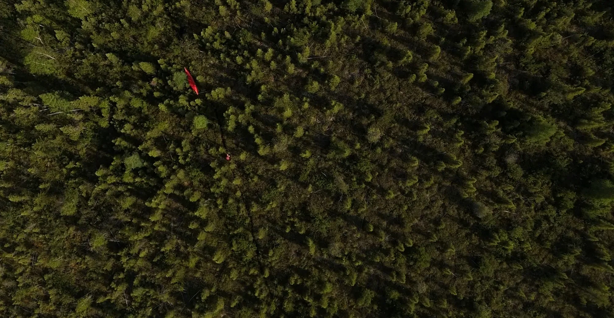
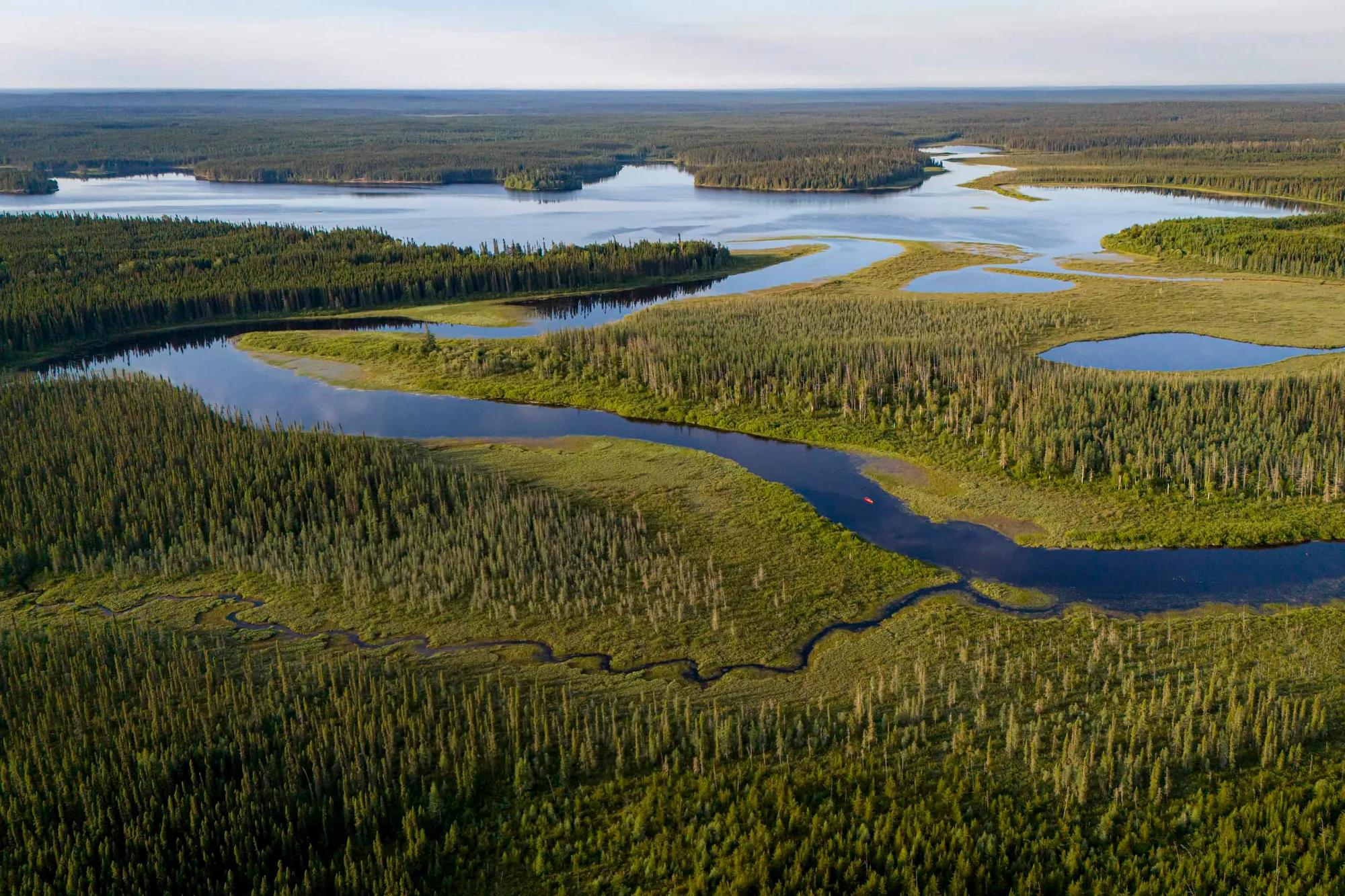
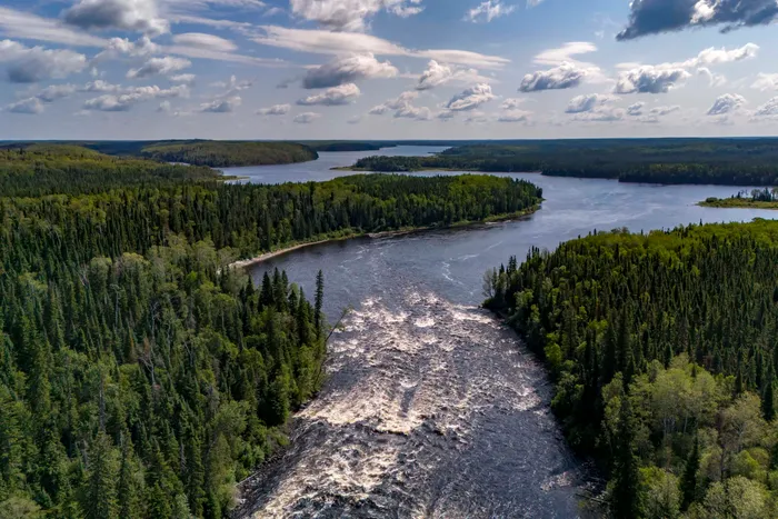
Mid-morning, lazy mist, water gurgles behind our strokes. The Attawapiskat River banks tower above, crowned by a spikey wall of weather-beaten spruce. Beyond the veil of trees, peatland sprawls soggy into the endless beyond. By canoe, we are four long days’ paddle downriver of Neskantaga First Nation and nearly eight weeks from where we had begun outside Sioux Lookout, Ont. Our plan was to paddle along a series of rivers and lakes, to reach the region now often known as the Ring of Fire, where mineral wealth has the attention of private companies and governments alike. For much longer, this place has been called Yehewin Aski, the breathing lands.
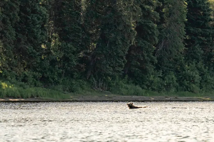
Around a bend, strong current, a flicker of white along the shore and our paddling stops abruptly even if the river does not. In less than a heartbeat a polar bear dives into the water, and suddenly we enter the food chain.
The magic of what is now northern Ontario is the ability to imagine a vast land prior to its dramatic alteration. Having undergone a century of forestry, damming, diversions and mining, the land today is a myriad of roads and frontier industry towns. When fur traders and later settlers arrived, water was the only highway through the land. By water and thin trail, a traveller could go virtually anywhere, which is what the Anishinaabe, predominantly Ojibway, and Cree, did for time immemorial to gather and harvest the food that sustained them. They considered this region, to which we are visitors, the Nishnawbe Aski, the People and the Land.
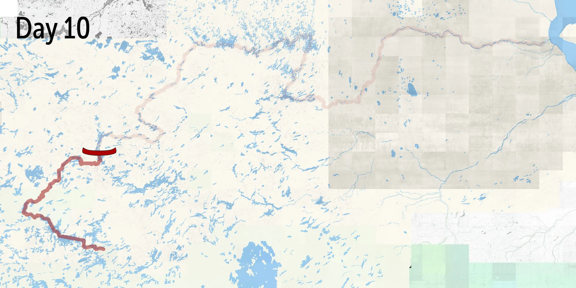
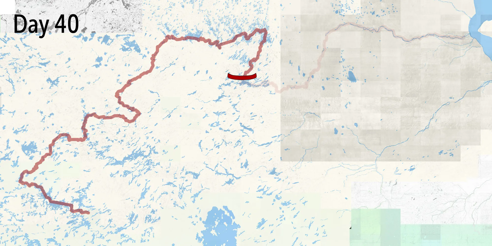
An animated map showing the 1,700-kilometre route David and Leah paddled from Sioux Lookout to Attawapiskat, Ontario. The map is covered with little lakes and rivers, and includes an overlay marking Ring of Fire mineral claims.
- The 1,705-kilometre journey
- Ring of Fire mineral claims
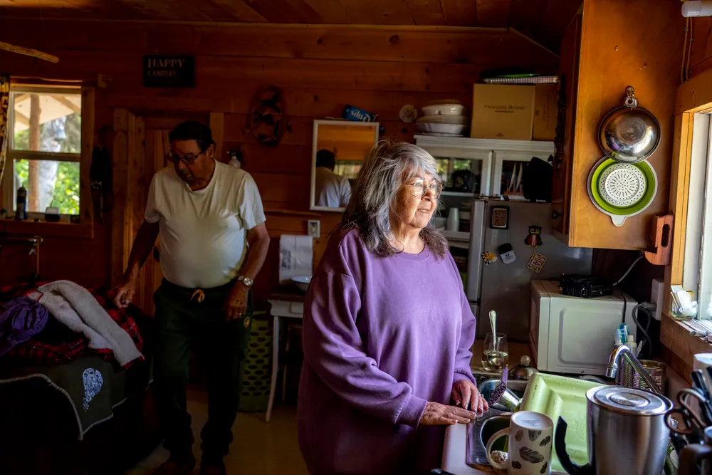
To get this canoe trip on course, it is best to start from the beginning: Lac Seul, a reservoir of the English River, some four hours’ drive northwest of Thunder Bay, Ont. — a noisy four hours with a canoe on the roof. My wife Leah and I planned to depart from Armstrong, Ont., but a small wildfire burning near Namaygoosisagagun (Collins) First Nation, along the CN Rail line, had diverted us — the first in a number of shifts forced upon us by fire. But we welcomed the idea of visiting a friend’s mother, Shirley Anderson of Lac Seul First Nation, on her homelands.
Born after construction of the Ear Falls generating station, she remembers sitting on a rock in Kejick Bay, one of the First Nation’s communities, and being told this stone would never go underwater. The full extent of power generation would be hard to fathom for her community as they watched the dammed lake rise for five years, flooding their wild rice patches, washing away homes, leaving seas of stumps and excavating the graves of her ancestors. Even as a child, Anderson remembers feeling the deep sense of “loss for that person, for that body that washed away.” She learned traditional ceremony to honour the drifting spirits, then the bones were placed in mass graves to be buried above the new highwater mark.
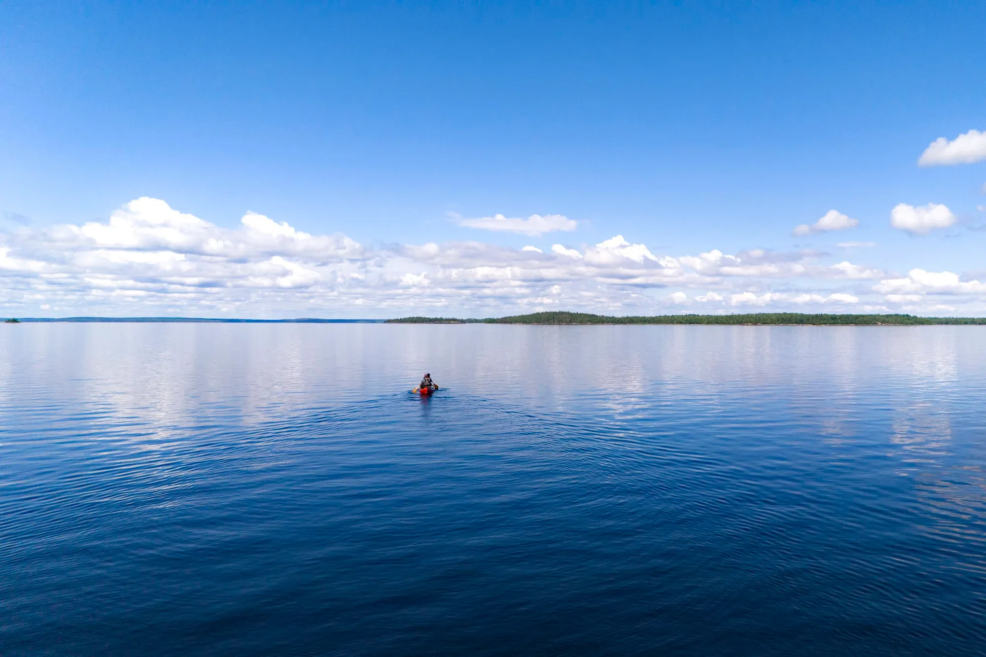
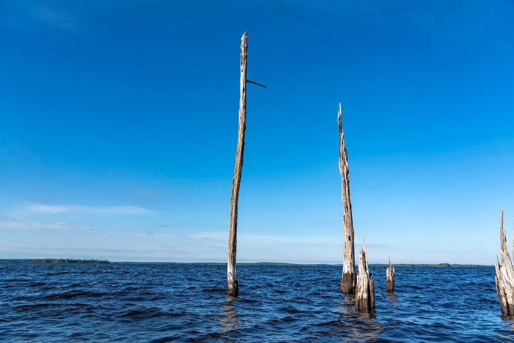
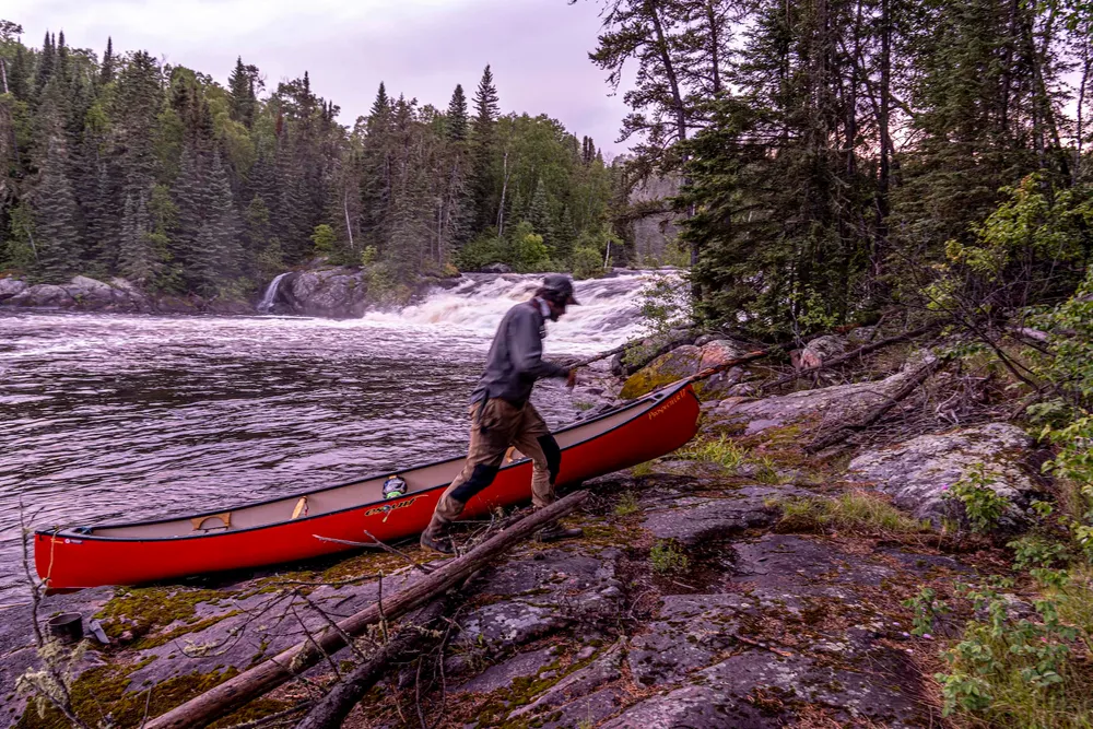
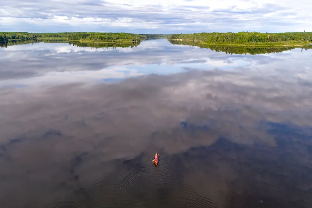
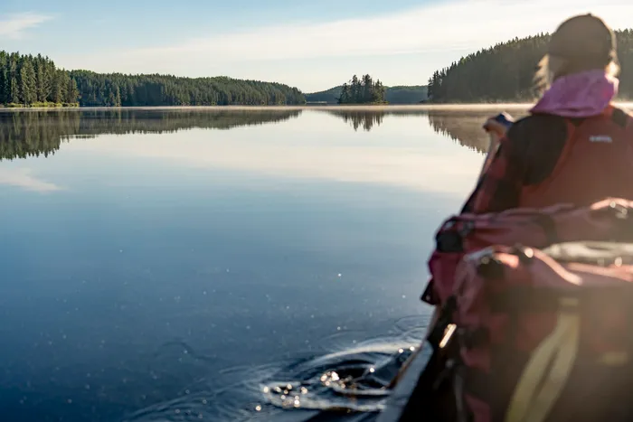
Paddling away from her camp, we took the first strokes of what would become a 1,700-kilometre canoe journey. Eroded banks reflected on a mirrored lake, red pines — the species near to its northern limit — towered above the sprawling waterway. Portaging around the Ear Falls dam, a confusion of ‘No Trespassing’ signs and electrical substations, we reloaded below the yellow outflow barriers. We turned north.
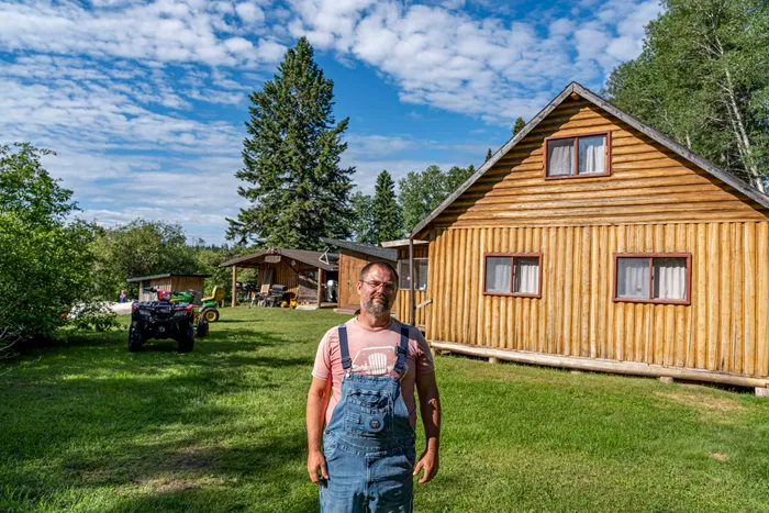
Leaving the English River, we travel several waterways north to the Woman River. We struggle to find routes around waterfalls and difficult rapids. There are signs of old trails, but time has done away with them and behind the screen of trees along the rivers, the landscape is a mess of clear-cut logging and its accompanying maze of roads. We land at a fishing lodge known as Swain Post where we hope to find a traditional carrying place — or portage — into the Cat and then Albany River watersheds. The owner, Sean Anderson, tells us with an air of pride about the trail he maintains himself.
When we say we are heading for Springpole Lake, his mood changes. There, a planned open pit gold mine would drain a portion of the lake in order to extract the gold from beneath it. Despite all he’s been told by the company, First Mining Gold, Anderson says, “I don’t know of any kind of mine anywhere that doesn’t have long-lasting effects on the surrounding area for generations to come.” (First Mining did not respond to multiple requests for comment, including specific questions about its mine plans and potential impacts.)
Anderson tells us about the legacy of South Bay mine, just near his lodge, on Confederation Lake. For years, it has leached sulphuric acid from the mine waste, poisoning nearby lakes. “Nobody just seems to have a solution to the problem. So we’re all just kind of stuck with the aftermath,” he says.
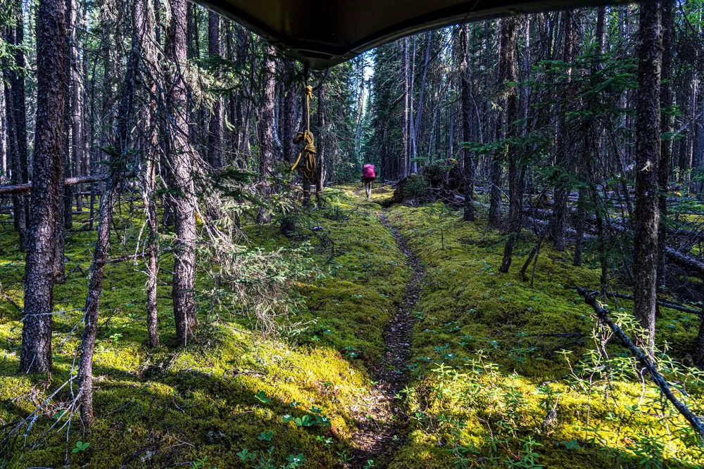
Upon leaving, we reach a height of land — the drainage divide created by elevation, where water flows to a different watershed in either direction. In northern Ontario, elevation is marginal, so the divide is often marked by swampy trails rather than scenic views. No strangers to the untended portages of northern Ontario, we soon realize this will be the finest carry on our journey; much of the one-kilometre trail is a boardwalk.
Across the trail and paddling again, we soon spot a distant camp on Shabumeni Lake. There we meet Jonathan Sakakeesic and his helper, Lazarus Whiskeyjack, working on Sakakeesic’s trapping cabin. We learn that his trail passes around Springpole Lake, and in Anishinaabemowin, Sakakeesic shares his thoughts about the proposed mine. He describes the site as the place they will be “making metal” and says that it might “destroy the land.” He knows the mining industry from his time working for Musselwhite mine to the northeast.
Near that site, he says he never encountered moose and was told to not drink the river water downstream from the lake, but not why. “If they build that mine, all the water will go down to where he lives,” Sakakeesic says, pointing at Whiskeyjack who lives downstream in Slate Falls Nation. His own community of Cat Lake First Nation is upstream. (A Musselwhite mine spokesperson said by email they were not aware of any warnings against drinking the river water but that local waterways are regularly tested. They also noted land and aquatic wildlife monitoring is done regularly in collaboration with First Nations, and “results have indicated that moose populations continue to frequent the area.”)
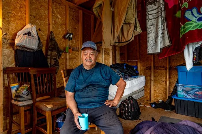
I ask Sakakeesic about his First Mining Gold Corp. hat, which he received at a community-organized vote in June on whether to allow the Springpole project. After producing an impact assessment of the mine proposal along with Lac Seul First Nation, Cat Lake voted to allow it. “It’s a nice hat,” Sakakeesic says, shrugging his shoulders, but he voted no. “I like my land.”
Day 10
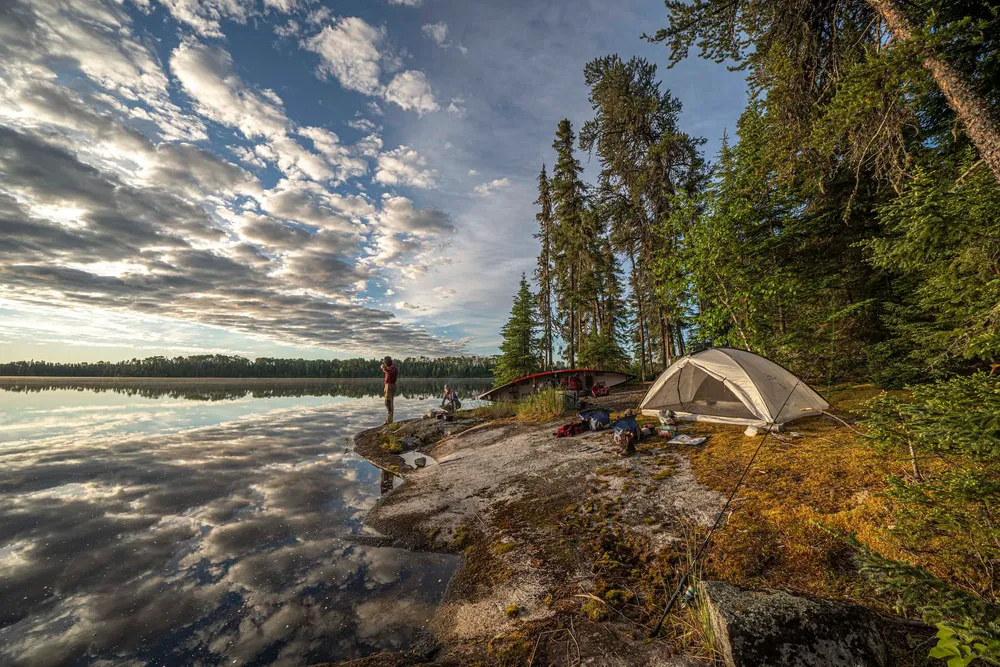
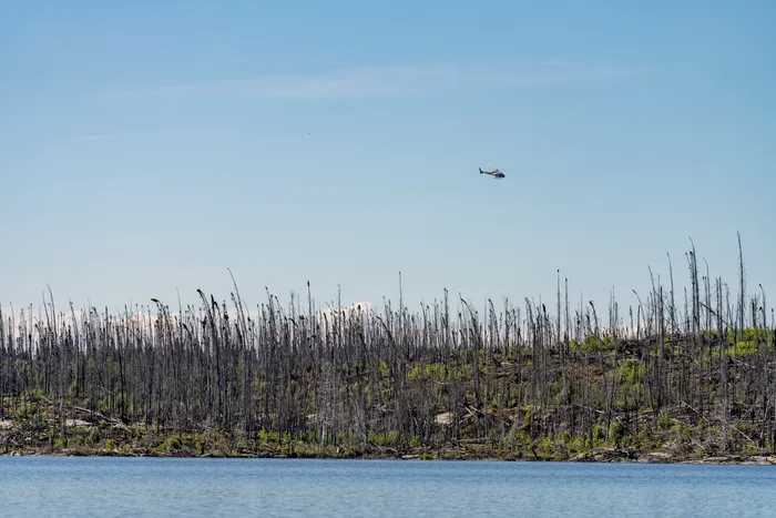
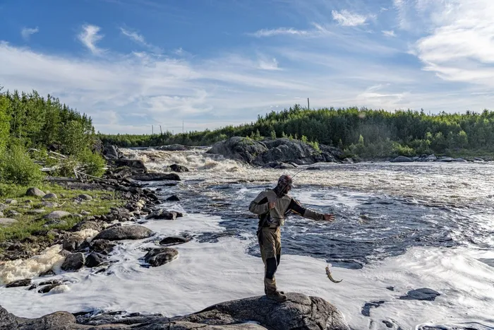
We take a short portage into Birch Lake and gold-stained walleye bite at every cast in the rapids. We sleep on a narrow spine of rock with water all around, drinking spruce tip tea after long, cool swims in the clear water before a dinner of fresh fish. Another portage follows, known locally as Waabizheshi Agaasademon Onigam or Marten Portage. I read Cat Lake’s assessment of the Springpole project long before leaving on this trip and know this route is not as well used as it once was because of the exploration making it less welcoming. The nation said once the mine opens, it will never be the same. As the fog lifts in the morning, a soothing silence is broken by a rhythmic whomping as a helicopter appears on the horizon. Welcome to Springpole exploration camp.
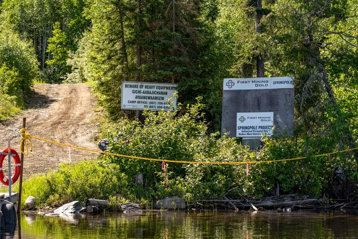
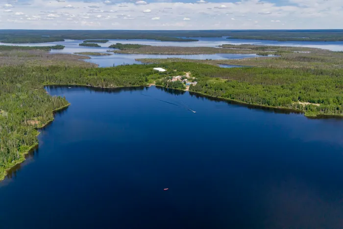
We land at the dock and walk up a long hill, the helicopter overhead is slinging lumber and material to drill pads and work sites. A camera and ‘No Trespassing’ signs are posted on some buildings, so we avoid them. Another has its door propped open and we glance inside at the archives, rows of tall racks shelving rock core samples, the bones of the earth are laid in numbered procession. When the camp comes into view, a man unhooks a line from the vibrating helicopter above, then races to us. He first tells us we can’t be here, but it is where we need to portage into Springpole Lake. After directing us to put our cameras away he whisks us to the camp manager’s office and she takes us on a tour.
To get at the gold here, under the lake, First Mining plans to build dikes and drain out a portion of the lake. Fish may be lifted over the dam, and the gold mine will operate full-steam for 10 years before the lake is flooded again and fish return. A month earlier, in June, the Impact Assessment Agency of Canada determined the Springpole project was “not likely to cause significant adverse environmental effects.”
As we leave, two workers from Newfoundland insist on driving our gear across the camp between Birch and Springpole Lake. Reloaded and standing by the water, I wonder about Canada’s Navigable Waters Act and how it applies to the mining industry. The act prohibits activities that change water levels to a point that they’re no longer navigable, but that can be overridden if the work is in the public interest. In years to come, will canoeing through this waterway-turned-gold mine be possible?
Drifting away on the calm day, I imagine the water under our canoe suddenly vanishing and us plummeting to the lake bottom, landing in a pile of gold. Leah dips her water bottle and enjoys long, cool drafts. The boreal tapestry of forest and water is broken intermittently by vibrant orange mineral stakes along the shorelines. In 2018, Ontario introduced an online mineral staking system, meaning claims could be staked from anywhere. These physical stakes are just a fraction of what is claimed here.
When we reach a small bay hemmed with cliffs, we turn in to view ancient Anishinaabe rock imagery. We float silently under the stories on stone, tales of a time when travellers left glimpses of their lives in crushed red ochre dust mixed with bear fat; surrounded by a wolverine, lake trout and bull moose, a lone person stands connected to the animal world. We leave tobacco, and paddle.
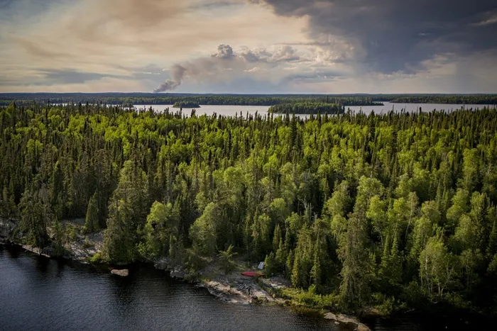
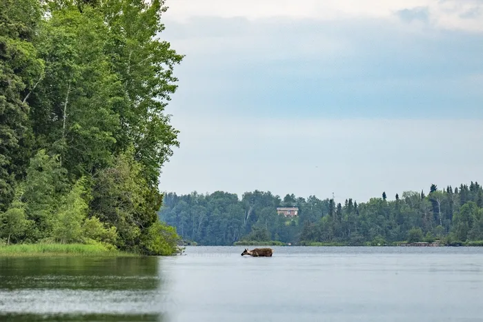
Nearing the community of Cat Lake First Nation, a lone caribou swims across our bow’s path and a column of black smoke rises ominously to the northwest. We buy a few supplies at the Northern store, general provision shops ubiquitous across the Canadian North, tied to the history of the Hudson’s Bay Company.
We speak with Merlin Gray, a local traveller and trapper who shares with us stories of the land we are heading toward. When we mention our route, he beams that we will pass by his remote cabin, his happy place, where he goes to spend time with his family and live their mino-bimaadiziwin, the good life. Paddling away, Gray reminds us that we head not into wilderness, rather we go into his family’s backyard.
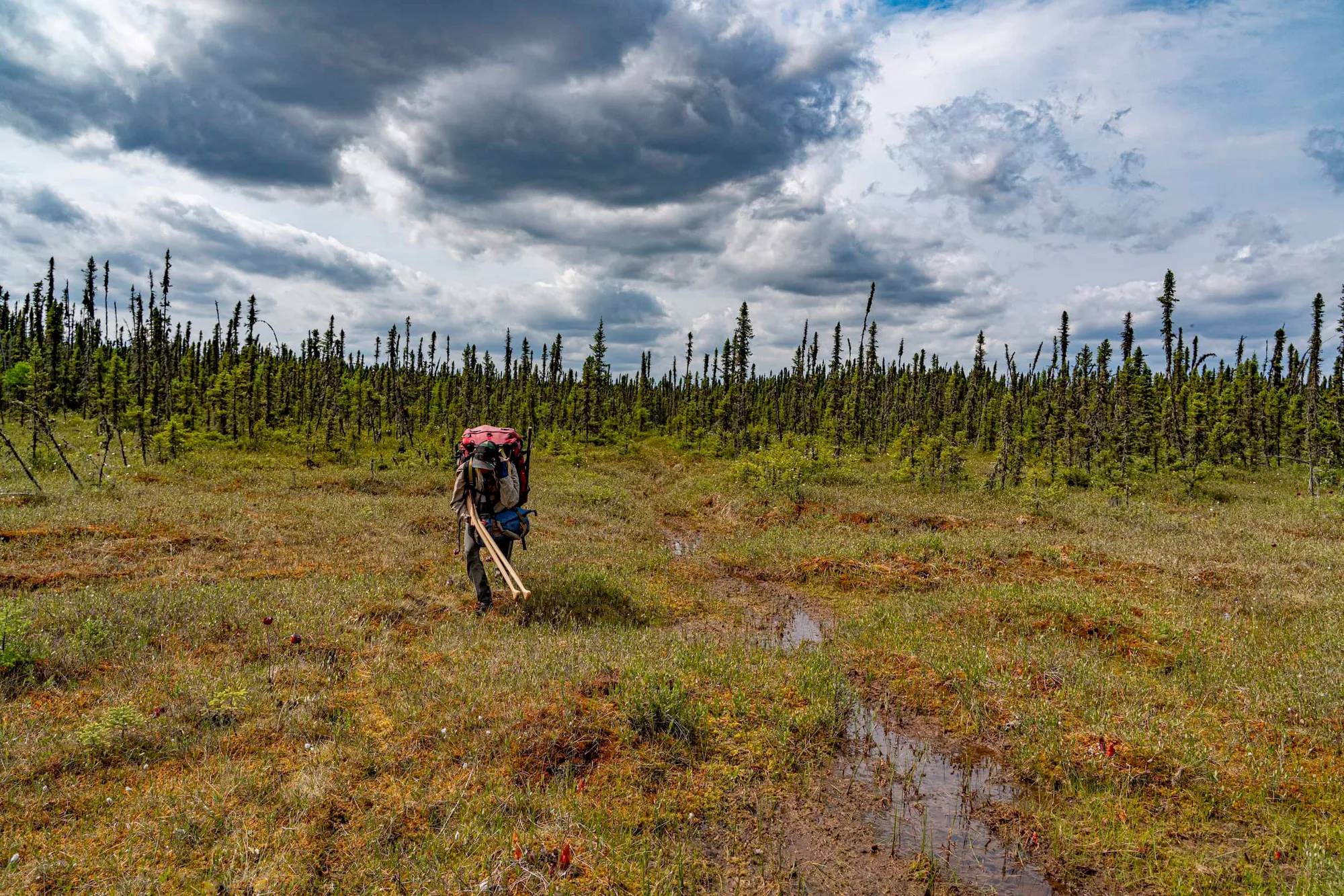
Portaging along snowmobile trails, we leave the Cat River and cross another height of land through swamps full of Arctic cloudberries and quaking peatlands. These wetlands sprawl across nearly half of the land in northern Ontario, made up of plant matter that decays slowly and in turn stores massive amounts of carbon. Estimates for just how much are in the range of 30 billion tonnes, threatened both by development and by climate change hastening its decomposition.
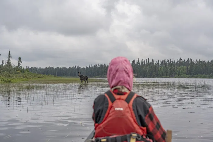
Light rain blows sideways in a strong wind and I imagine where each drop might fall. The area around Cat Lake is a stone’s throw from several heights of land, so raindrops have a choice in their journey to the Arctic Ocean. A little north and east, a raindrop is bound for Fort Severn or Peawanuck, Ont., and the polar bears that roam the coast of western Hudson Bay by way of tributaries of the Severn or Winisk rivers. A little west, raindrops flow to Lake Winnipeg. The raindrops that fall in the sinking swamps will go to James Bay, like us, either by the Albany or Attawapiskat rivers.
For now, the Otoskwin River welcomes us and begins small, like all water, finding its way from springs and shallow lakes thick with muskeg and boulders. We wade shallow rapids until we scout bigger ones, and for days we let ourselves down the river as its volume builds. There are mornings where we count 20 moose, sometimes paddling right up to them. Along a prominent sandy ridge of jackpine seemingly kept open by human use, we climb the bank to find many graves, old tea pails and a powerful view to the east of the flowing river. Silent and still, we stand so aware of the Nishnawbe homelands we travel through along the arteries of the north.
The Otoskwin joins many streams to become the Attawapiskat River. We turn north and ascend the Williams River, finding Merlin Gray’s trail at the top of the watershed right where he said it would be. We leave a note and tobacco at his camp, grateful for this keeper of the trail that delivers us over another height of land to the Morris River. Time pulls us forward and for the next 600 kilometres, we will follow three wild rivers downhill.
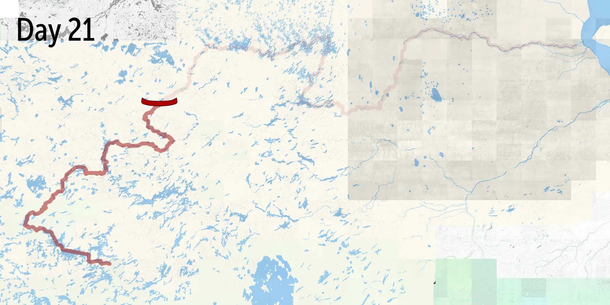
Day 21
We lay on cool, mossy earth, at the shore of Kinloch Lake, 170 kilometres beyond Cat Lake and still 240 kilometres from the next community we will pass, Wunnumin Lake First Nation. We flinch when lightning suddenly hits so close in steady procession that the bedrock under us quivers, and we watch in horror as columns of smoke rise from every strike. A deluge of raindrops follow, quelling the smoke, and we paddle on.
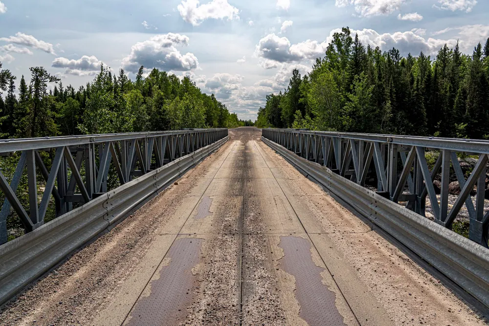
When we flow into the Pipestone River, we pass under a gravel road called the Northern Ontario Resource Trail. It winds north from the town of Pickle Lake, Ont., for about 236 kilometres, built to access mining and exploration interests in the Far North of Ontario. More than a dozen remote First Nation communities such as Cat Lake, Muskrat Dam, Webequie and Kitchenuhmaykoosib Inninuwug begin their winter road networks from the resource trail, often called the North Road. In 1995, predecessors to Equinox Gold built an all-season spur off the road to their early stage Musselwhite mine. Twenty-two years later, after millions of ounces of gold had been extracted, North Caribou Lake First Nation built the Wa-Pik-Che-Wanoog bridge and 42-kilometre all-season road connection in 2017.
The North Road is a vital resource for remote communities who rely on those winter road connections to bring in their building material, fuel and essential supplies. As winters are becoming less predictable in the warming climate, all-season roads might be the only reliable future for First Nations communities.
But in the north, roads tend to follow or precede resource extraction. In Cat Lake, the community’s approval of the Springpole mine came alongside funding from First Mining for a road. (Cat Lake Chief Russell Wesley told local media when the mine was approved, “My mandate as chief was to establish an all-season road that ends decades of isolation, improves safety and health care and lowers living costs.”) The Pipestone flows us away from the North Road faster than we can consider all that it represents. It’ll be the last major road we encounter on the trip.
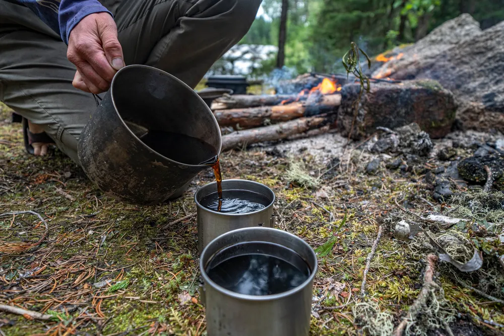
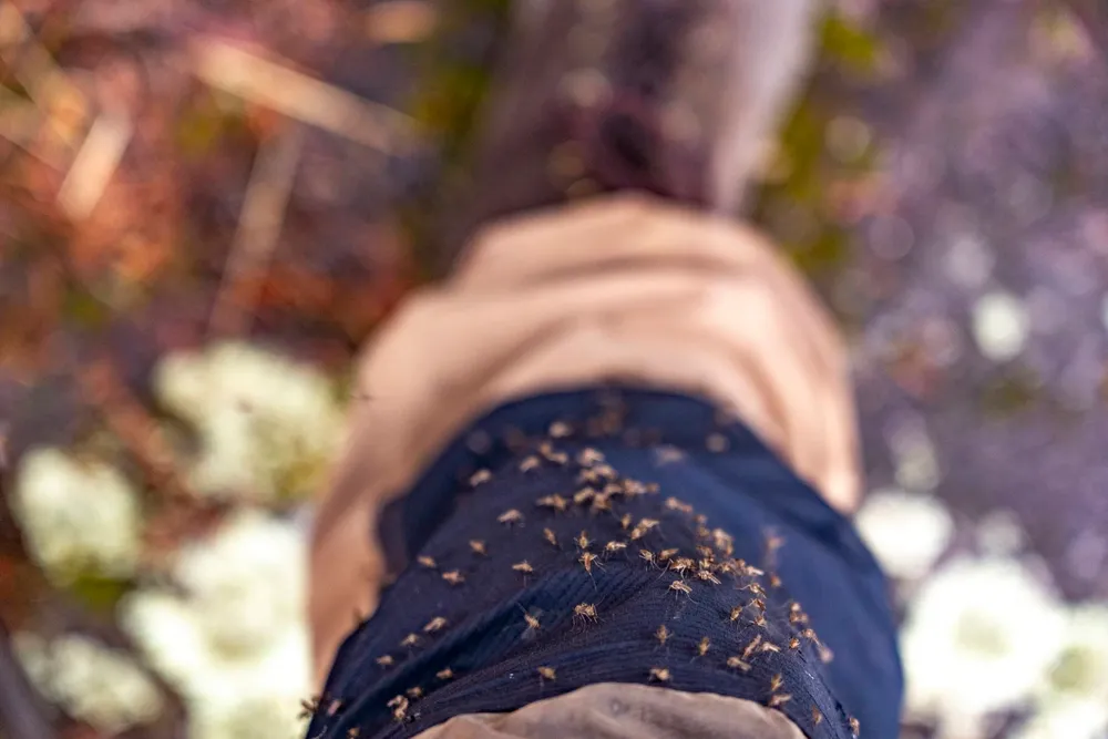
Weeks go by in a blur of rapids, blackflies, moose, campfires and the rhythm we call travel. Rise early, travel long and make each decision with the prior knowledge that mistakes could be our ruin, so we tread lightly. At Wunnumin Lake, Pipestone becomes the Winisk River, and we soon find ourselves paddling wide boulder rapids into Nibinamik First Nation, where Gerald Ash greets us. We first met Ash on a paddling trip through here in 2021, when he showed up at our campsite in the evening after climbing a long stretch of complex rapids alone in his boat just to go for a ride.
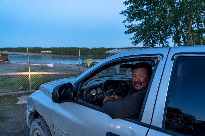
We camp in the community this time, and he visits us again as evening falls. He asks where we are headed and then passes us the news that Namaygoosisagagun, where a wildfire first rerouted our trip, burned to the ground.
We mention that we intend to go farther downstream to Webequie First Nation, then turn south through a chain of lakes including Mameigwess towards the Attawapiskat River. A man of few words, Ash looks us in the eye and says there’s an exploration camp on that lake.
In June 2025, Ontario Premier Doug Ford’s government passed Bill 5, with many First Nations leaders saying it restricts oversight of mining and limits opportunities for Indigenous consultation before mining activity can occur. Since then, Ash says he’s seen a spree of fly-by-night exploration camps popping up across the north to drill the lakes, streams, muskeg and bedrock for minerals. When I ask if they are allowed to be there, he raises his hands and shrugs.
Before he leaves, we share our route with him and with a wave of his hand, he describes the lines down big rapids we’ll encounter. When we arrive at each one, his gesture is exact.
About 100 kilometres downriver from Ash and Nibinamik, we hear a rapid. The current is strong and pulling us in, but wind from the south has blown in wildfire smoke and we struggle to see much beyond the canoe’s bow. The smoke is so thick that we yawn from lack of oxygen. Until now, our summer has been one of north winds free of smoke, frequent-enough rain and high water. That evening through satellite texts, we learn that friends have lost their homes near Armstrong, Ont., where we intend to end our journey in one month. Our plans begin to drift away from travel back south to roads, and instead to distant oceans. The lines we carefully drew on maps, routing us to the western edge of the Ring of Fire and then paddling back south to the roads near Armstrong, now stretch northeast to the coast of James Bay and Attawapiskat First Nation.
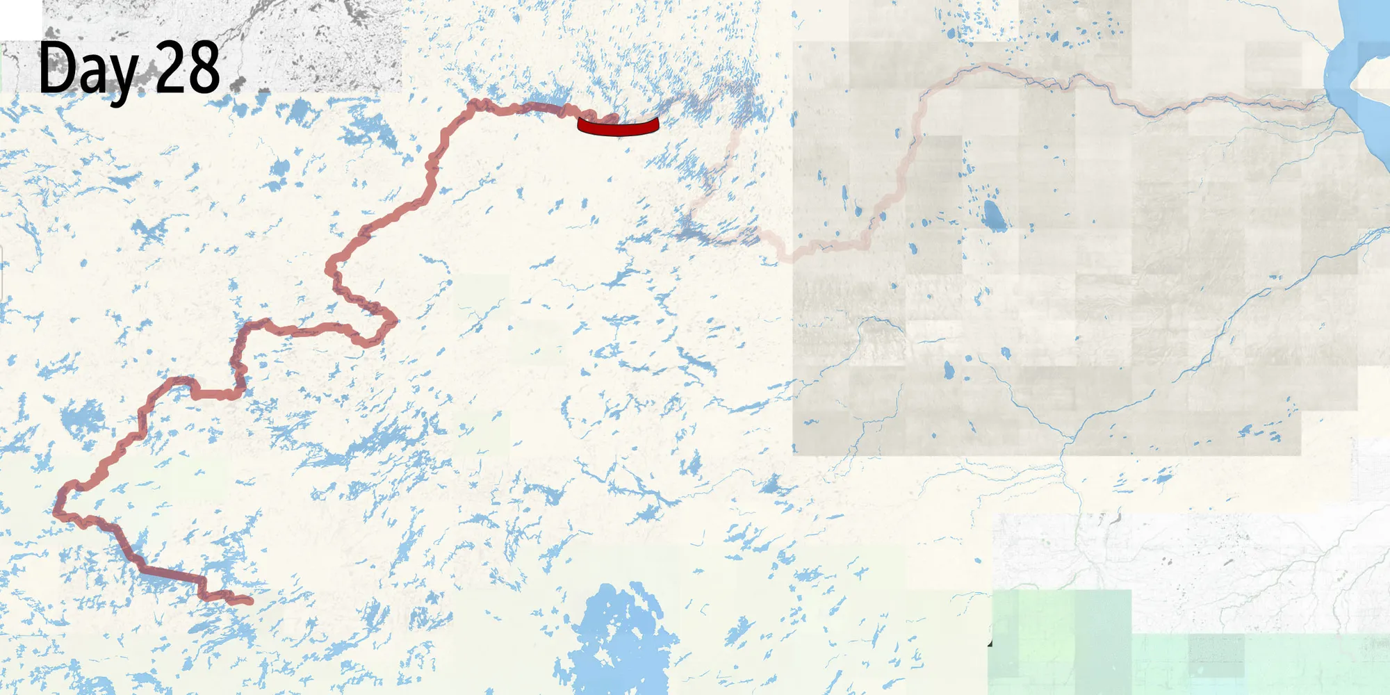
Day 28
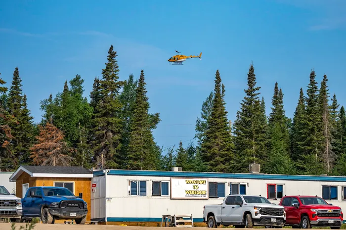
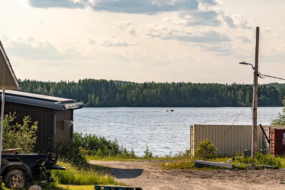
In Webequie, on the northern tip of Eastwood Island, the community is bustling. There are projects underway, like a new cultural recreation centre and a camp set up to house workers building a bridge between the island and the mainland.
The bridge is the first link to the outside, connecting one of Ontario’s most remote communities via the planned Webequie Supply Road. Webequie First Nation is the proponent behind the project. The 107-kilometre-long road is the northernmost stretch in a chain of proposed all-season roads. Below it is the Northern Road Link, which will weave up to 164 kilometres through the peatlands to meet the Marten Falls Road — a 184 kilometre-long segment starting at Aroland First Nation and the provincial highway network. The roads cut a line to McFaulds Lake and the heart of the Ring of Fire. The minerals that lie here beneath the world’s second-largest peatland complex have been said to be worth billions of dollars, or even trillions. (So much that in October, the Government of Canada pledged $1 billion over the next three years to help Ontario and First Nations build the road network necessary for mining them.)
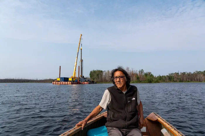
Carving in close to the shoreline, following a bay’s curve, the wooden bow of Roy Spence’s freighter canoe is glowing against the dark water as he slows to watch a loon in wild dance protecting its baby. He’s bringing me to the first pilings for Webequie’s bridge, and as we round a point, two barges equipped with drill rigs, excavators and machinery to drive massive piers into the bottom of Winisk Lake stand out against the black spruce and water.
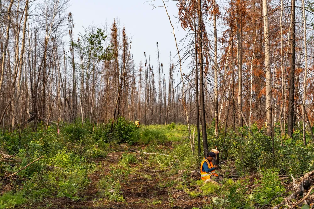
The area on shore is burned from a fire that broke out last summer and nearly destroyed the community before a sudden wind-change turned the wall of flames. On Eastwood Island, there was nowhere to run but the lake. Spence drops me in the burn and I scramble over charred and uprooted trees through the sooty mess to see where the road will depart the island.
Back on Spence’s boat, he tours me around the pilings, then drives a little farther out to fill his water jug. Holding his hand out over the water, he talks about the responsibility to protect the lake and river. He speaks about how if oil or gas are spilled in the water, “It’ll be there forever. Our fish will be poisoned, our drinking water will be poisoned.”
In the background, work boats for LH North, the contractor on the bridge project, go back and forth between the mainland, captained by co-owner Tom McClement. He is quick to point out that he is here to help Webequie in fulfilling its dream of a road, and the first step is building a bridge. When I mention our journey so far, he says each bridge we paddled under was built by his crew.
Back in Nibinamik, Gerald Ash mentioned that his community has no prospect of an all-season road anytime soon, but they have been building rough bulldozer trails to the nearby lakes so community members can access their homelands without risking their lives in dangerous rapids. Roads can help people access their identity. But what about the Ring of Fire?
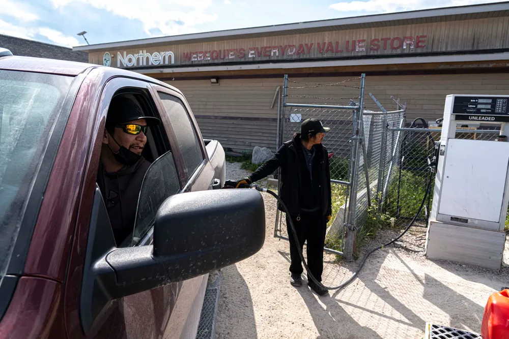
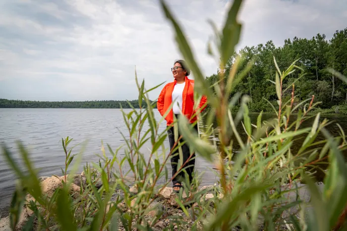
After resupplying in Webequie, we’re drifting away from the community when a truck flags us down. Chief Lorraine Whitehead steps out, having heard we were hoping to speak with her. Just in from Thunder Bay, she’s been travelling and is tired but happy to be home on her land. She tells us about growing up here, going on the trapline with her grandpa, who taught her to shoot the rapids. But Whitehead’s true passion was marathons. She ran them all over the world, but training was almost impossible in her community. She would run to the dump and back, then zigzag lines down the residential dirt roads that intersect Webequie, but still only cover 10 kilometres before running in circles. This road, she says, is about so much more than mining.
Just east of Webequie, the Eagle’s Nest mine is the most advanced project in the Ring of Fire. There’s still no commitment to build a mine there, only an agreement for Wyloo Metals, an Australia-based miner, to explore for copper, nickel and other critical minerals.
To move beyond its collection of buildings and tents and set up a full-scale mine, Wyloo needs a road. Whitehead says “discussions need to be led by Indigenous communities, and any mining activity has to be Indigenous-led.” The road being built is the vision of Webequie’s Elders, but moving mining ahead, she says, will require a conversation with all communities “including Neskantaga and Summer Beaver (Nibinamik), Fort Hope and anybody that’s going to be affected with the activities that are going to happen in our area. It can’t be just a singular community like Webequie.”
(In an emailed response, Wyloo CEO Luca Giacovazzi said First Nations input has shaped the project design, including limiting peatland disturbance and avoiding the storage of mine tailings on the surface, and the company is committed to ensuring there are lasting benefits for communities. “Consultation and engagement with First Nation groups across the region has occurred since the discovery of Eagle’s Nest in 2007 and we remain committed to open engagement throughout every phase of the Eagle’s Nest project,” Giacovazzi wrote. “Our door remains open to any group who would like to discuss the project with us.”)
Whitehead has her own hesitations about mining companies and their promises to bring prosperity to communities. “I haven’t seen that,” she says, at least not in her region. “You can’t just go into somebody’s backyard and just take. There has to be a benefit to my community.” For now, the province and nation are building a bridge to the mainland, and that is Webequie’s dream.
Day 40
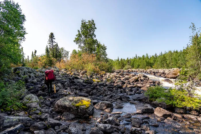
The forecast is for northeast wind, and walls of frigid rain are falling from Hudson Bay. The dismal weather steers us one river south, to the Attawapiskat, and clearer skies. Leaving Winisk Lake, we begin what will be our last height of land crossing of the trip. We claw our way up the steep Wapitotem River. Whatever trails used to exist, we stop looking for them and instead focus our energy on getting around one waterfall at a time. We reach Mameigwess Lake and take long, refreshing swims in the clear water. I float across the surface and listen to the sound. On the same lake, somewhere to our west, a helicopter flies over the gold exploration camp Ash told us about.
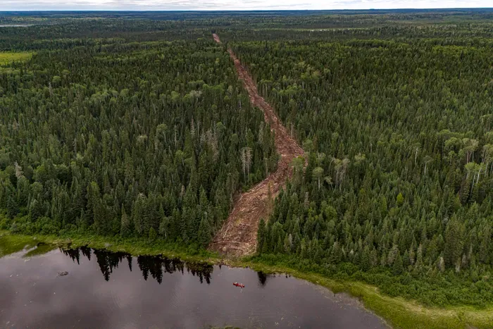
Travelling along swampy snowmobile trails to Neskantaga First Nation, we find a cellphone along the way. We follow trails worn knee-deep into the moss until we meet a clear-cut roadway, the path for a new fibre-optic line bringing high-speed internet to the north. If most days we follow ancient Nishnawbe trails, here we cross the new paths they forge.
Neskantaga is quiet, with only a small group of members who stayed behind amid wildfire evacuations. We soon find the owner of the cellphone and learn it was lost in December while a group travelled by snowmachine to deliver a cease and desist order to a junior exploration company, operating without consent in their territory. Neskantaga are guardians for their land, even while enduring the longest standing boil water-advisory in Canada: 31 years and counting. Of Canada’s 39 current long-term advisories in First Nations, 28 are in Ontario.
We learn that Elder Alex Moonias has harvested a bull moose and we’re invited to a community feast at Lansdowne House, the former community site before flooding pushed the people out in the 1980s.
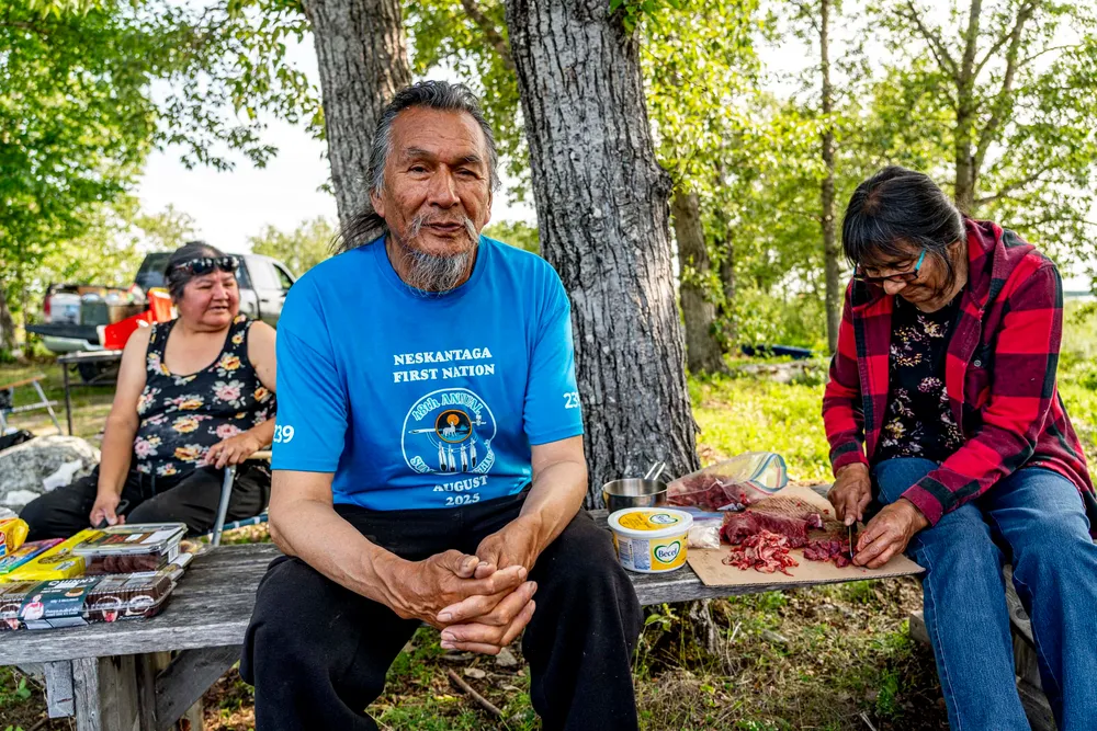
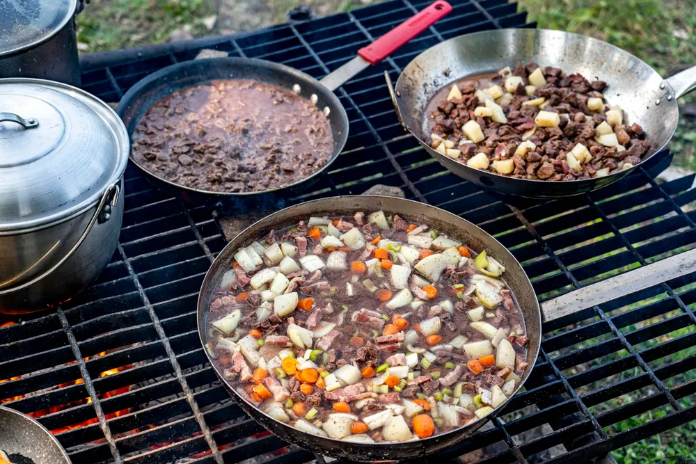
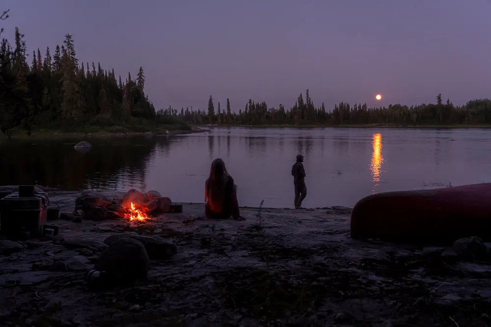
At a central fireplace amongst the birch trees, pots of moose are boiling and everyone has a bowl of broth, dipping fresh bannock into a rich stew. Tea simmers and a light breeze pushes the aroma while laughter and Anishinaabemowin echo around. I sit down with Moonias while his partner, Emma Agash, cuts meat. “That’s our garden out there,” he points with his face towards the north, the countryside we’ve just travelled through. He’s speaking about the fish and animals, the berries and medicines. The lakes and land have sustained his ancestors for time immemorial, and we begin to hear stories quietly spoken about the camp downriver where their people rest. It is there that the proposed road to the Ring of Fire, specifically the Northern Link segment, will cross the Attawapiskat.
The permanent camp, used by Attawapiskat and Neskantaga First Nations, is set up at the shore to affirm the nations’ territory where the road is proposed to cross, and to protect the graves and camping places of their peoples. It is vacant for now as evacuations and low water have made the land difficult to access. A short ways downriver, a large cross stands atop the north bank marking ancestral graves back in the forest. Rather than answer questions, Moonias and the others encourage us to sit and be present, to feel mino-bimaadiziwin.
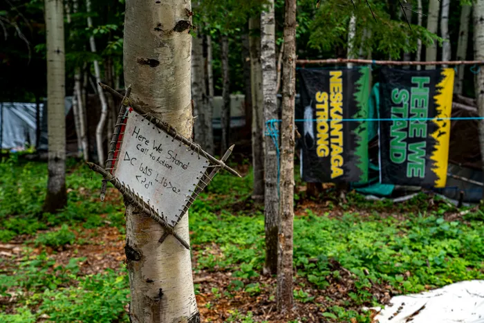
Soon, the Attawapiskat River whisks us away and for days we stay tense in nearly continuous rapids as the river pours off the Canadian Shield.
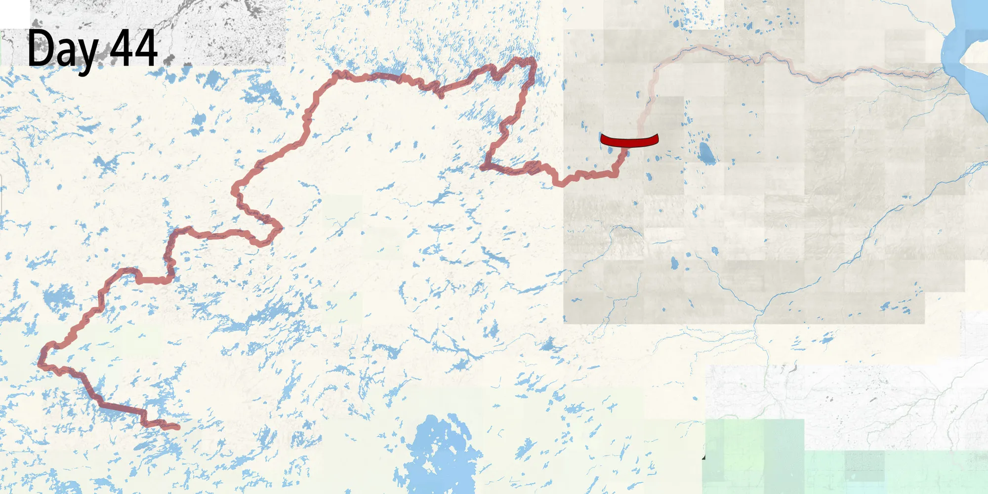
Day 44
Shortly after breakfast, we head off with a simple plan: enjoy the river as it flows ceaselessly, observe the landscape as it enters the breathing lands and when we make camp that evening, take a walk into the swamps that separate us from McFaulds Lake and the Eagle’s Nest deposit, just eight kilometres from the Attawapiskat River.
A flash of white on shore reveals the polar bear with its head down, walking upriver. We spot each other at the same time, and within seconds, it wades into the river and swims underwater toward us. We paddle to flee but the bear is too fast, so we unpack a locked-away firearm, carried for an emergency such as this. With three metres to spare, I fire a warning shot into the air to deter it, moments before it could put a paw to our gunwale.
As far as paddlers are concerned, seeing a polar bear here is highly uncommon, and we have heard the same among researchers and First Nations we’ve spoken to. Ontario’s polar bears are the southernmost in the world, hunting along the sea ice, at the coastlines of James and Hudson Bay. Females will travel far distances inland, sometimes 150 kilometres, to den through the winter, have their cubs, then slowly return to the ocean while raising their young. Along the Severn and Winisk rivers, it is very common to encounter polar bears. But less so along the Attawapiskat — and we are still at the western edge of the Ring of Fire, about 320 kilometres from James Bay following the river, as a bear might.
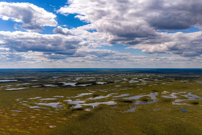
With still a week of paddling left, the shock doesn’t wear off. We stay vigilant at all hours in case the white bear, wapusk in Cree, returns. There will be no rambling walk in the peatlands and into the Ring of Fire; instead, we scan shorelines with binoculars and recount how lucky we are to be in a place where nature fills us with questions.
The river pours into limestone, fossils line the shoreline, canyons unfurl ahead of us. Black bears and moose amble the shores, dragonflies whirl to devour endless bugs. Leah runs her finger down the spine of an ancient crustacean cased in stone and we linger in shallow grotto pools formed along the river banks. In front of our camp, the river carves around a giant boulder amid rapids, Kâh-tawâpiskâk, a Cree word meaning a stone in the river.
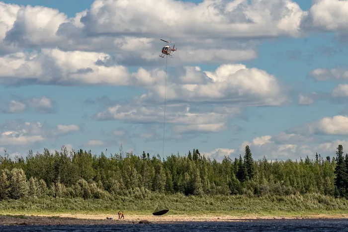
Just upstream, we pass the former De Beers’ Victor diamond mine, as choppers airlift environmental consultants who tell us they’re checking sculpin and trout-perch for legacy contamination from the mine’s effluent pipe. After passing where the pipe once drained into the river, we notice a visible green algae on the rocks staining the otherwise clear streambed.
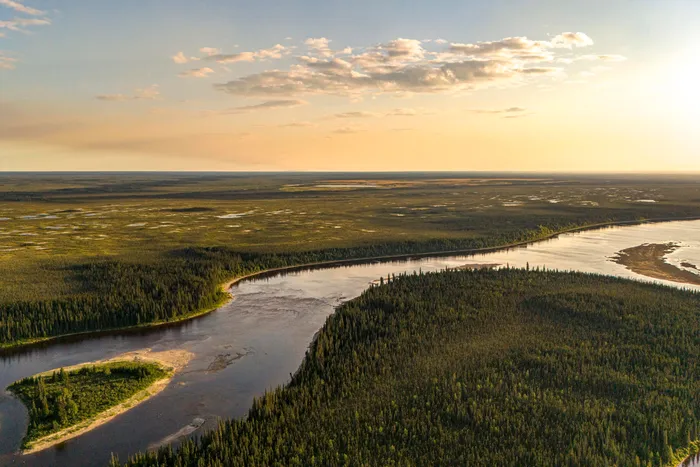
Shorelines turn to willow, the spring ice scouring creates a jungle that’s hard to crawl through. We navigate a small swift and notice the water change: it fizzles at our paddle strokes, then an arching wake zooms into the water off our bow. The tide is rising and a bearded seal suddenly emerges just ahead, its saucer eyes staring into ours, welcoming us to the intertidal zone of the James Bay Lowlands.
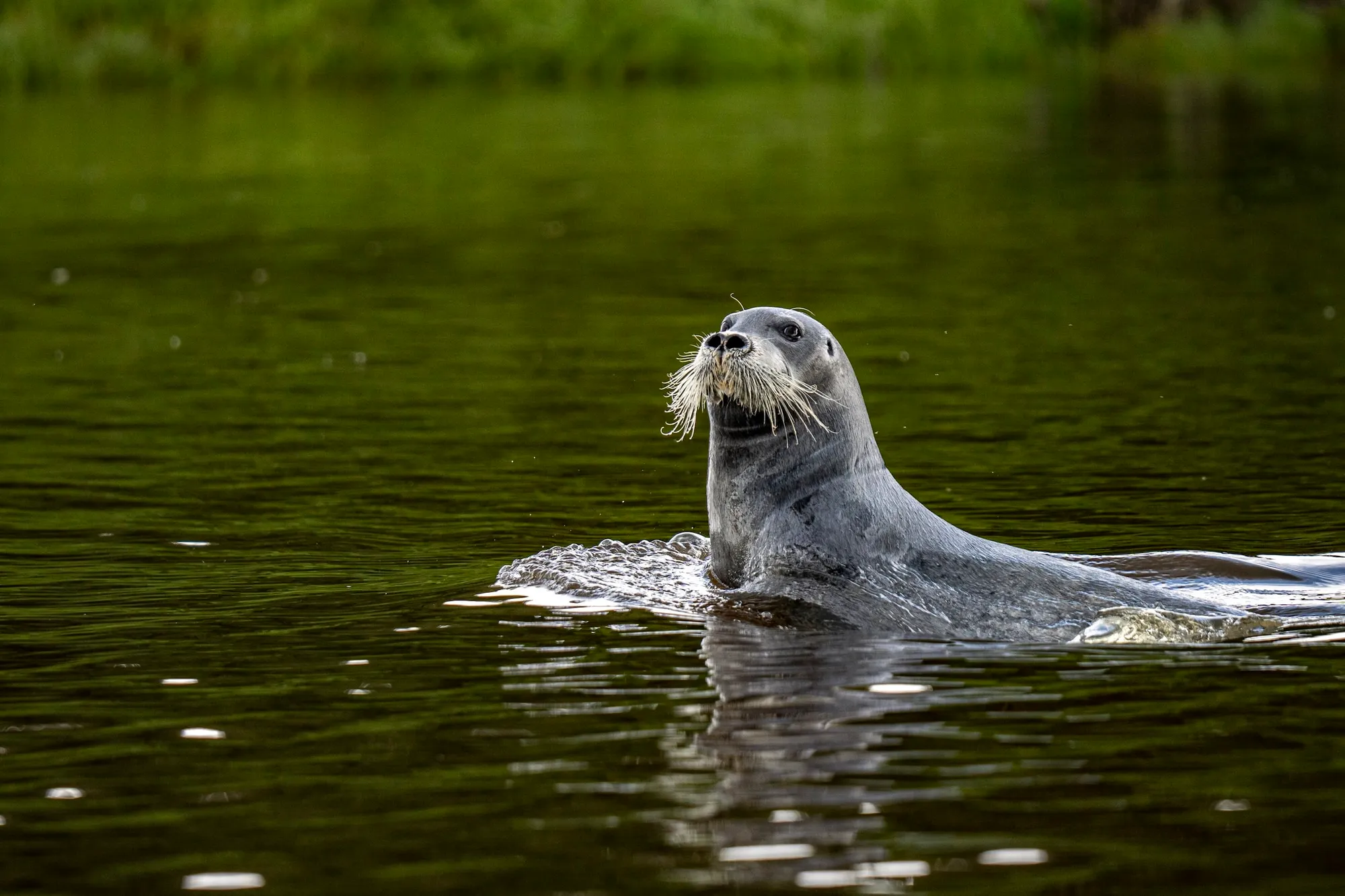
Around a corner, Attawapiskat First Nation comes into view.
We walk the streets of Attawapiskat, trying to sort out our travel back to our truck. A warm aroma leads us to Margaret Edwards’ smoke shack where she sits with her mother roasting geese. We talk about her family’s traditional trapline area.
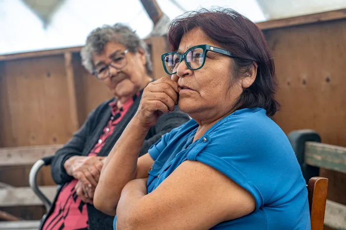
“My grandma always said when they run out of minerals in the south, they will come here for ours. And it’s happening,” she says. We sit in the cozy tipi with a steaming mug of Labrador tea, quietly watching fat drip from the geese.
Later, I walk with Kara Fireman, the deputy chief of her coastal community, along the nearly dry Monument Channel of the Attawapiskat River. She has grown up on the land, understanding her connection to it. Things are changing, that much she knows. The caribou aren’t travelling where they always have; instead they “drift off and wander away from their natural highways. They get into trouble out there.” Traditional berry-picking places no longer bear fruit as they’re overtaken by willow, now growing in abundance as the climate warms — known globally as Arctic greening. She says travellers have to wait for freeze-up to hunt moose as the rivers in fall time are too low to navigate by boat. I hear from Elders that one of the reasons is the permafrost thawing, meaning it can no longer contain those waters within riverbanks, and lets them seep into the surrounding earth.
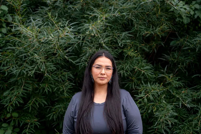
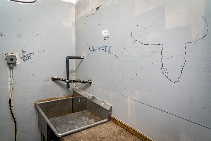
Fireman says the winter road that reaches Attawapiskat is a vital link for her isolated community, but the land will never be the same if an all-season road crosses the peat. “Whatever happens upstream, comes downstream,” Fireman says.
To build a road through the breathing lands is to ignore the existing network of winter roads and Traditional Knowledge of routes which have connected northern communities to the southern world for decades. The proposed roads to the Ring of Fire cut a new path entirely, through peat and over waterways that connect to Attawapiskat and other communities that lack all-season access.
In June 2025, Fireman travelled to Toronto to oppose Bill 5 and the way it was rushed through Ontario’s legislature without Indigenous consultation. She says she was removed when she screamed in Cree as the bill was given Royal Assent — the final stage of a law’s passage, granted by Ontario’s representative for the King of England.
When I ask Fireman about our encounter with the polar bear so far from the coast, she pauses. “The land is changing and the animals are feeling it. They are suffering and confused,” she says, before trailing off. “They are probably just as confused and scared as we are as human beings — but they don’t know what’s going on. It’s our job as land protectors to fight for it, for our brothers and sisters.”